
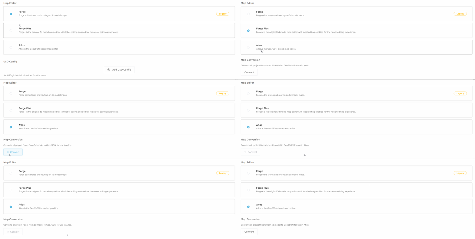
 If you are trying to use an existing project in Atlas then you must run the conversion process to convert the 3d model into GeoJSON. Model Conversions covers this process in detail if you want to know more.
Versions
Forge: is map editor version one and requires a project to be setup with a 3d model file for it's floors. The map editor will then load that 3d model and allow users to manage destinations, routing network and amenities.Saving in Forge doesn't make any changes to the 3d or geometry in the map, it just modifies the content.
Forge Plus: is both map editor one and two (Atlas). This mode is intended for use with 3d model maps that want to be able to edit labels and use Atlas' tools to manage routing and content. You are not permitted to edit geometry in this mode and the endpoint for saving geometry will not make changes to the 3d model file on the CDN.
Atlas: is map editor two, enabling this mode disables Forge and saving geometry will overwrite the existing 3d model file.